You don't need to be a serious hiker to see waterfalls and wild rivers around Blue Ridge. These five outings are short, mostly family-friendly, and all in the Chattahoochee National Forest. The catch is usually the drive: several trailheads are at the end of gravel Forest Service roads, so road conditions matter as much as trail distance.
| Hike | Round trip | Road to trailhead | Good for |
|---|---|---|---|
| Fall Branch Falls | ~0.9 mi | Gravel, most cars OK | Young kids, dogs on leash |
| Toccoa River Swinging Bridge (short route) | ~0.5 mi | Rough gravel; higher clearance advised | Families, photos |
| Long Creek Falls from Three Forks | ~1.8–2.2 mi | Long gravel Forest Service roads | Older kids, AT fans |
| Springer Mountain summit (from FS 42) | ~1.8 mi | Long gravel Forest Service roads | Bucket-listers |
| Aska Trails (sample a section) | Your choice | Paved Aska Road to Deep Gap | Choose-your-distance hikes |
1. Fall Branch Falls
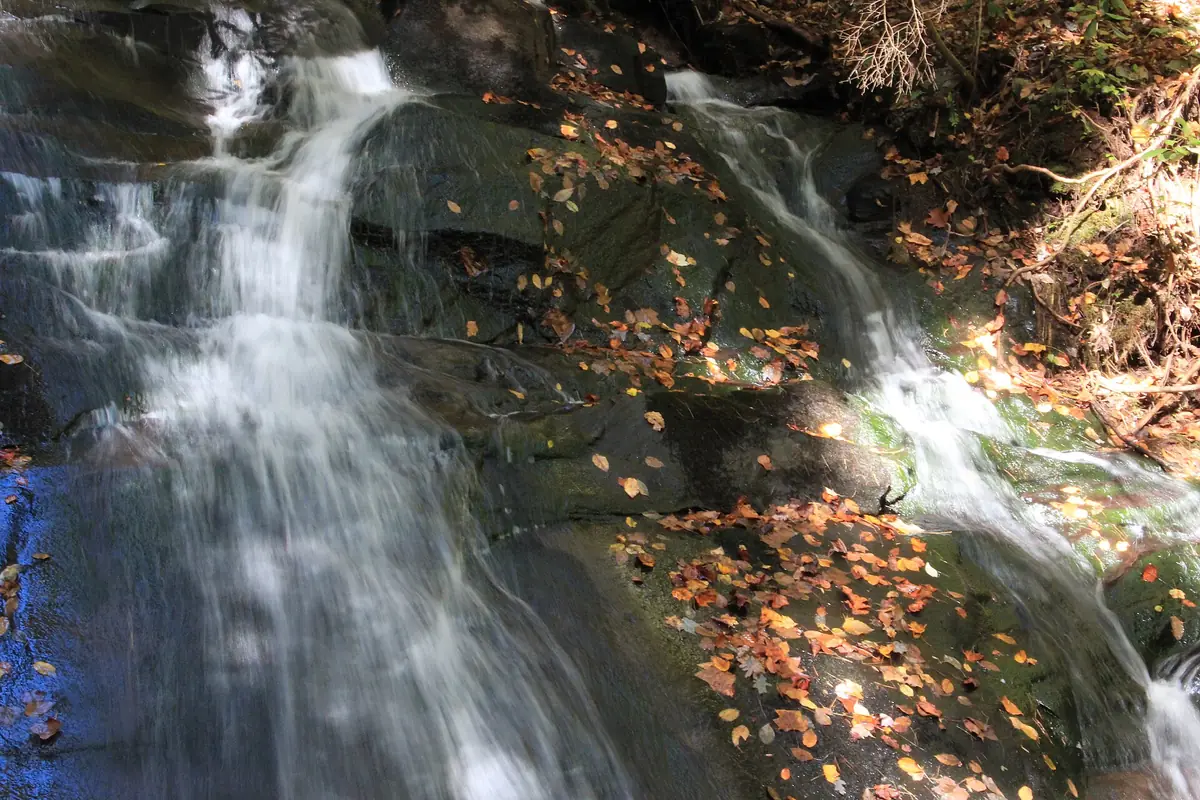
Distance: about 0.9 mile round trip, about 200 feet of elevation gain (AllTrails and HikeTheSouth both list 0.9 mile)
Trail: Benton MacKaye Trail (white diamond blazes) to a short spur and observation deck
Trailhead: Stanley Creek Road (also called Rock Creek Road), a gravel road south of Blue Ridge
The best payoff-for-effort waterfall near town. The trail climbs gently beside Fall Branch, then a short side path drops to a wooden observation deck facing a two-tiered cascade. Parking is a small lot along the road and fills on nice weekends. Don't climb the face of the falls (people have been hurt doing it) and keep a hand on little ones near the creek, where the rocks are slick.
2. Toccoa River Swinging Bridge
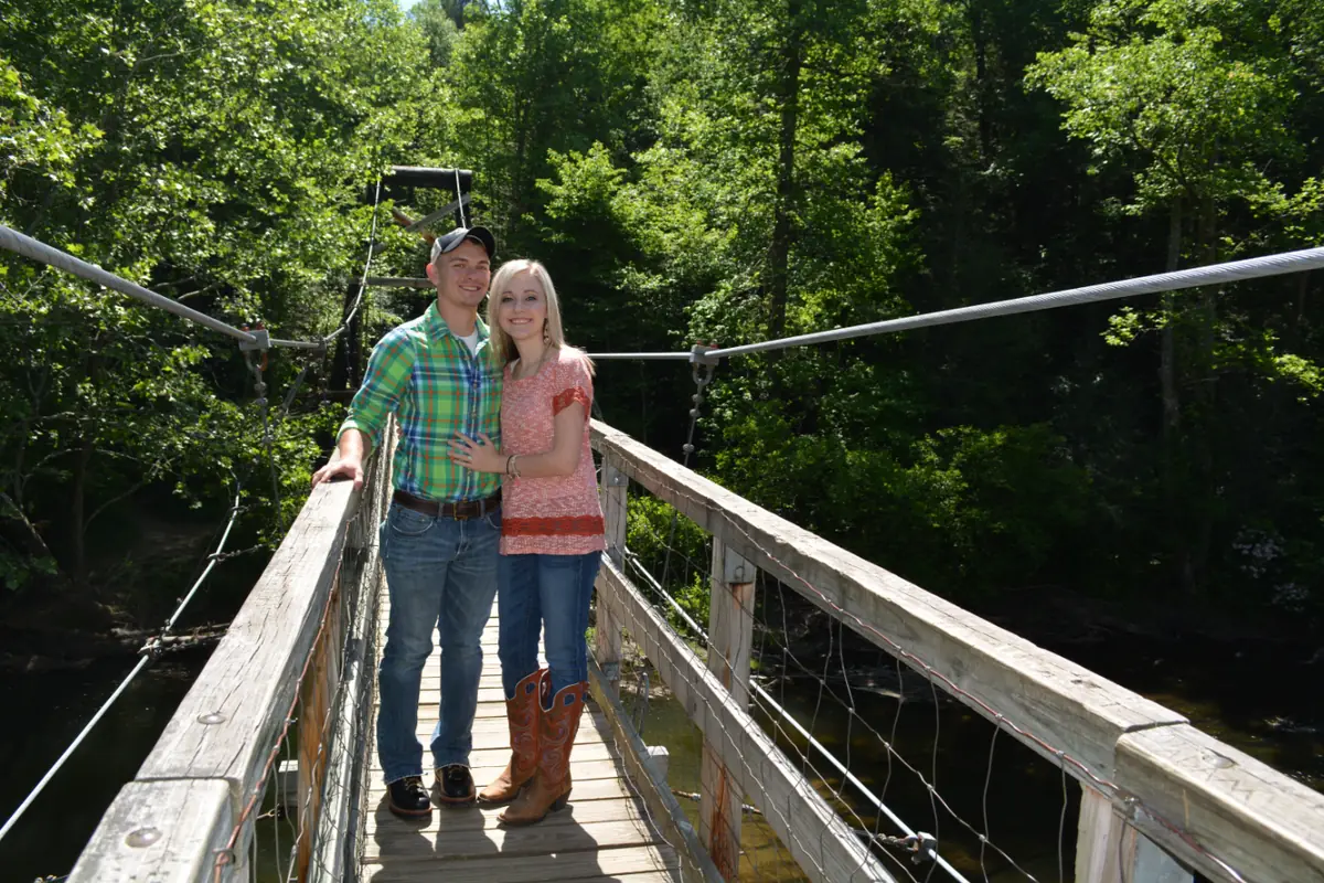
Distance: about 0.2–0.25 mile each way from the Forest Service parking area (about 0.5 mile round trip)
Trail: Benton MacKaye Trail and Duncan Ridge National Recreation Trail
Trailhead: end of Forest Service Road 816, off GA Highway 60 south of Morganton
At 270 feet, this pedestrian suspension bridge over the Toccoa River is billed as the longest swinging bridge east of the Mississippi. It was built in 1977 by the USDA Forest Service in cooperation with the Appalachian Trail Club. It bounces with every step, which kids love. From the parking area it's a short downhill walk to the river, though the trail is unpaved with uneven footing.
The drive: FS 816 is a rough gravel road of about 3 miles; low-clearance cars aren't recommended. The Fannin County Chamber estimates the bridge is about 50 minutes from Blue Ridge. Prefer a real hike? Park where the Benton MacKaye Trail crosses Highway 60 and hike in. That's roughly 7 miles round trip.
3. Long Creek Falls (from Three Forks)
Distance: about 1.8 miles round trip per the Appalachian Trail Conservancy (the Fannin County Chamber puts the side trail at 1.1 miles in, so plan on about 2 miles)
Trail: Appalachian Trail north from Three Forks, then a blue-blazed spur
Trailhead: Three Forks on Forest Service Road 58, where the AT crosses the road and Noontootla Creek
A gentle walk on the Appalachian Trail (much of it on an old roadbed beside Long Creek) leads to a short blue-blazed side trail and a roughly 25-foot waterfall with a pool at its base, surrounded by hemlocks. You'll likely meet AT and Benton MacKaye hikers; the two trails run together here.
The drive: from Blue Ridge, the Chamber's directions follow Aska Road to its end, Newport Road, then Doublehead Gap Road to gravel FS 58 for about 5.3 miles to Three Forks. Allow plenty of time and check road conditions first.
4. Springer Mountain: southern start of the Appalachian Trail
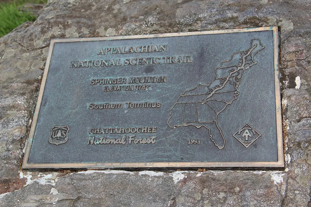
Distance: about 0.9 mile each way from the Forest Service Road 42 parking area to the summit
Trailhead: Springer Mountain parking on FS 42
Springer Mountain is the southern terminus of the 2,000-plus-mile Appalachian Trail and the starting point of the Benton MacKaye Trail. From the FS 42 lot, it's a short hike to the summit plaque, a great "we did it" moment for older kids. Combine it with Long Creek Falls on the same day only if you start early; the gravel-road driving adds up. Directions are on the Fannin County Chamber's outdoors itinerary.
5. Aska Trails: pick your distance
Distance: about 17 miles of trails in the system, so you choose how far to go
Trailheads: Deep Gap (about 4.4 miles south of Blue Ridge on Aska Road), Stanley Gap and others
The Forest Service's Aska Trail System is shared by hikers and mountain bikers and is the easiest trail access from town on paved roads. Full loops like Flat Creek (about 6 miles) and the Stanley Gap Trail (about 5.5 miles) are moderate. For an easy outing, just walk out from Deep Gap for 30–45 minutes and turn around. Watch and listen for bikes.
What to bring
- Water shoes or sandals with straps for creek play and the cold Toccoa: shop water shoes
- A small daypack with water and snacks: shop daypacks
- Trekking poles help on the steep return from the swinging bridge: shop trekking poles
- A paper map or offline map (cell service is unreliable in the forest): National Geographic Trails Illustrated map 777
- Rain layer, first-aid basics, bug spray and a trash bag. Pack out everything you bring in.
Safety notes
- Rocks around waterfalls are wet, mossy and slippery. Stay on the trail and off the top and face of falls.
- Below Blue Ridge Dam, the Toccoa can rise fast when TVA generates. Check the release schedule before wading.
- During hunting seasons, wear something bright; the national forest is open to hunting.
- Keep dogs leashed and follow posted rules at each trailhead.
Planning your whole trip? See the 2-day Blue Ridge itinerary and where to stay.
Sources
Appalachian Trail Conservancy: Three Forks to Long Creek Falls; Fannin County Chamber of Commerce: Swinging Bridge page and "For the Outdoor Lover" itinerary; USDA Forest Service: Aska Trail System; AllTrails, HikeTheSouth and Hiking Project: Fall Branch Falls; Georgia Outdoor News: Toccoa River Swinging Bridge; TVA Blue Ridge. Reviewed October 2026.